HCBC
HCBCSkimikin Trails & Equine Campsite Located in the Thompson Okanagan


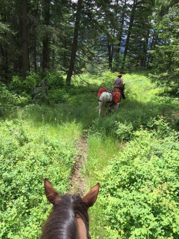
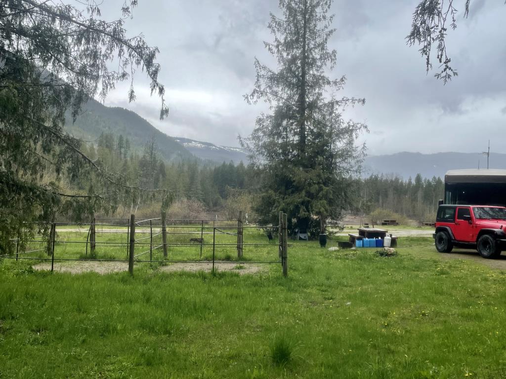
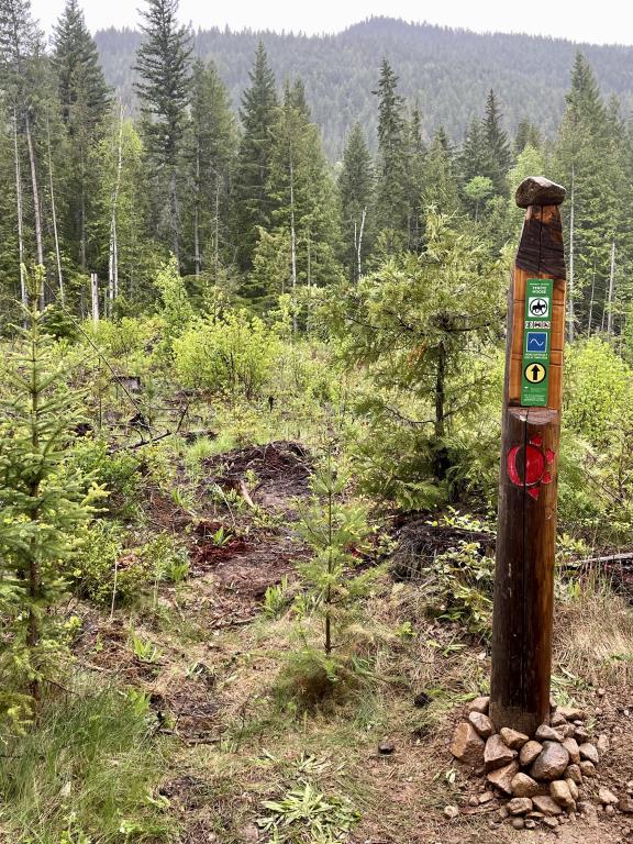
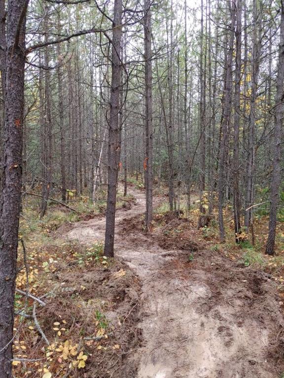
Recent Images
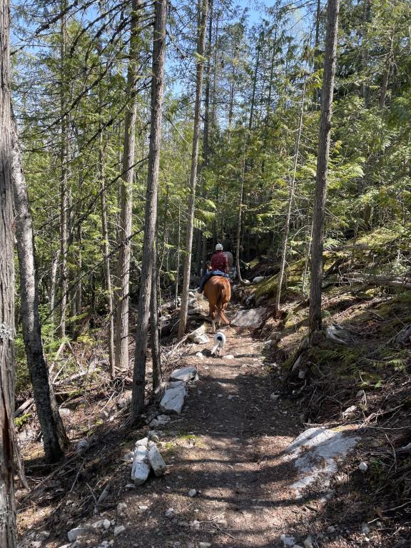
Skimikin Trails & Equine Campsite
Legend
Skimikin Trails & Equine Campsite Comments Want To Get Involved? Post Comment
Hwy 1 Construction completed - New EXITS. Jan 1, 2026 posted on: 09 / 22 / 2024
Hwy Construction is complete. new exits for both east and westbound. Eastbound from Kamloops - Stay in left lane at Tappen Valley overpass and turn left 0.4 kms onto Tappen Valley Rd. Westbound from Salmon Arm - Exit 0.5 km from the Bolton Rd Esso exit to the right and turn left onto Tappen Valley Rd. Continue to Skimikin Rd and turn left.
New non-motorized trail is open at Skimikin. The MOOSE (Teniya) Trail. posted on: 09 / 22 / 2024
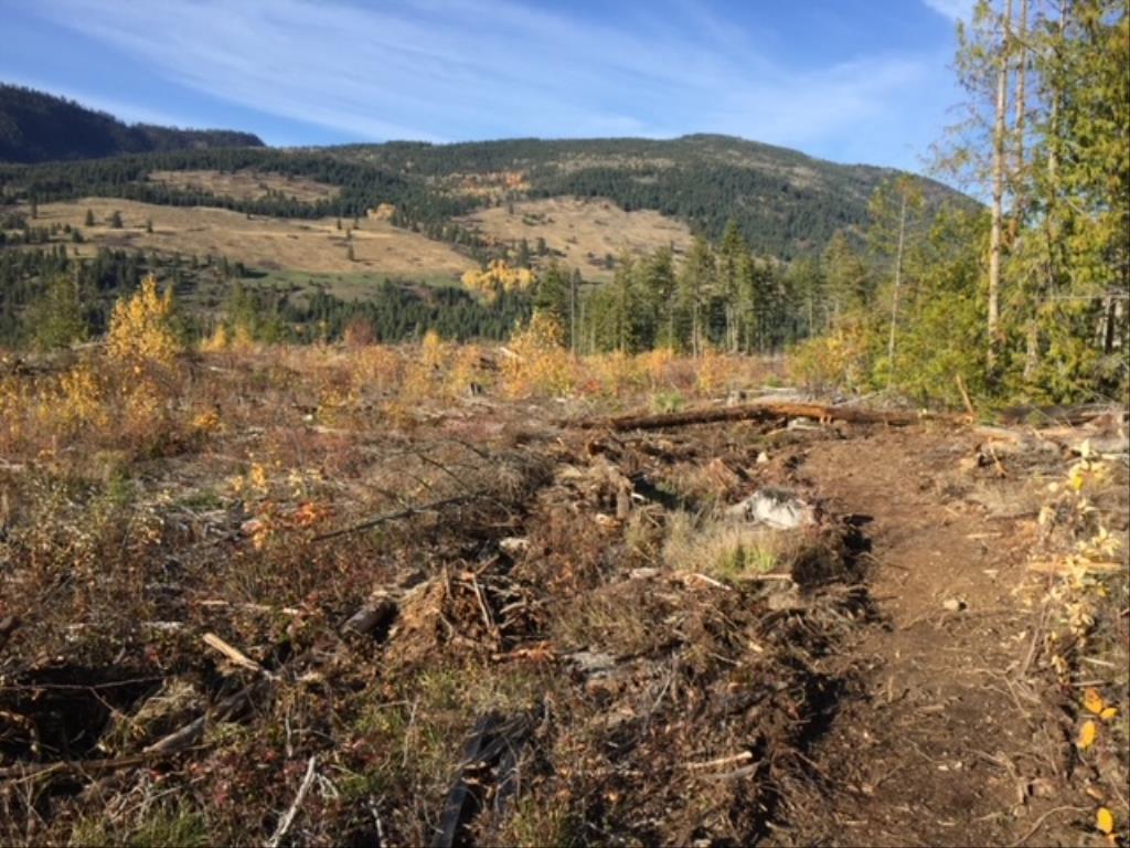
The Moose (Teniya) was built in 2023/24 with a Grant from the Gov't of BC through the Destination Development Fund. The 3.7 km single track trail meanders through a variety of ecosystems and provides amazing views overlooking the valley. You can connect to other non-motorized trails such as Turtle and Trappers South to make a great loop. Enjoy!
New Geo-reference Skimikin Map on Avenza posted on: 06 / 21 / 2024
New geo-reference map for Skimikin is now updated in Avenza Search: Horse Council BC Skimikin in your Avenza App.
New non-motorized trail - Moose Trail and new trail names posted on: 06 / 21 / 2024
The trails at Skimikin have been given new names from the old numbers. The new names are in both Secwepmec and English and represent animals, trees and plants native to the Skimikin Valley. Skimikin has a new non-motorized trail - Moose Trail that is 3.9 kms in length above the South side of the lake.
EQ Camping fees at Skimikin posted on: 05 / 28 / 2022
Starting 2022 there will be a EQ camping fee of $4 / night / equine. This small fee will go directly towards the maintenance or replacement of the corrals, manure management or anything to do with the EQ camping use. Thank you in advance for supporting our EQ campsites.
EQ corrals repaired posted on: 04 / 26 / 2022
Welding repairs have been completed to all EQ camping corrals at Skimikin. Safe and ready to go. Many of the trails are clear as well.
GPX Upload
Rode this trail? Show the HCBC Trail Community Which Route You Ride
HCBC monitors the integrity of the GPX files uploaded prior to posting on this website. We will contact you via your email if your track is suitable for an Avenza Map.
Name:
Email:
Image Upload
Saw Something Cool? Share it with the HCBC Trail Community
HCBC monitors the integrity of all images and comments posted on this website. Please allow us 24 hours to review the Images uploaded for this trail before they appear on our website. Thank you